Inspired by Acacio’s “don’t forget to look up” concept, I decided to take a walk I do daily (the mile walk from my house to my yoga studio), during which I’m constantly rushing and often looking down while en route, and instead look up and chart the magic of the sky throughout my journey.
Why do you think these things need to be mapped? What about them particularly needs to be understood and in relation to what?
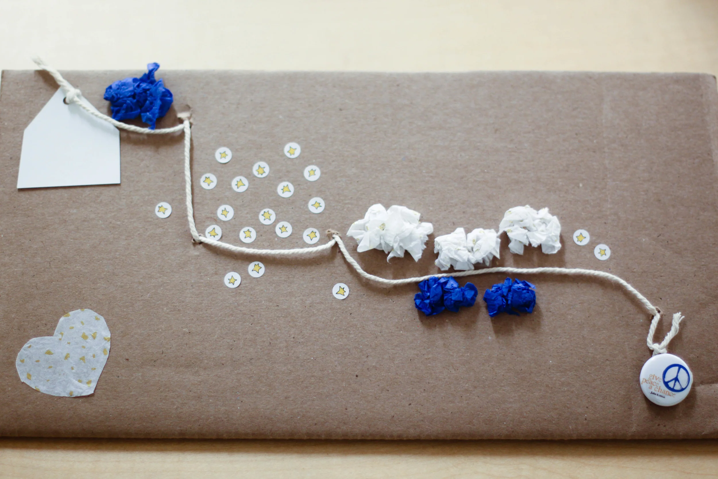
Since moving to Seattle in September, I find myself constantly amazed and entranced by the sky. What is often hidden by smog, fog, and other products of the city I left behind in Los Angeles, seems completely unencumbered in Seattle. The stars shine brightly, the clouds always seem to create some sort of artistic masterpiece in the sky, and the colors of the sunset are never short of breathtaking.
It was interesting to see how these celestial elements lined up with my seemingly small, grounded, earthly path to yoga.
How does the medium of the map support this?
Because Seattle is frigid cold (compared to LA) and it is difficult to create any sort of art while walking, I made note of the overall feel for each section of my walk and created the actual map upon my return home. It was interesting to note how the stars shone most brightly over the Queen Anne cemetery I pass by every day, due to an absence of man-made lights. Although this finding is unsurprising and could have easily been hypothesized before completing the task at hand, I found it interesting and poetic nonetheless.
In what way do the materials you chose add to the point you are trying to make?
I used cardboard, tissue paper, and twine to create my map in the hopes that it might create a sort of three-dimensional experience for viewers. While sky-gazing during my walk, the world above seemed so vast and texturized; I could easily imagine climbing around on the clouds and jumping from star to star. I wanted to create a similar experience for others by including texturized elements and 3d objects on my map.